Home>Weather and Climate>Discover The Climate Of Guatemala: Average Temperatures And Weather Patterns
Weather and Climate
Discover The Climate Of Guatemala: Average Temperatures And Weather Patterns
Published: March 1, 2024
Explore the diverse weather and climate of Guatemala, including average temperatures and weather patterns. Plan your trip with insights into the country's atmospheric conditions.
(Many of the links in this article redirect to a specific reviewed product. Your purchase of these products through affiliate links helps to generate commission for Temperatures.com, at no extra cost. Learn more)
Table of Contents
Introduction
Welcome to the captivating world of Guatemala's climate! Nestled in the heart of Central America, Guatemala boasts a diverse and enchanting climate that shapes the country's landscapes, ecosystems, and way of life. From the lush rainforests to the towering volcanic peaks, Guatemala's climate is a tapestry of natural wonders waiting to be explored.
In this article, we will embark on a journey to uncover the intricate tapestry of Guatemala's climate. We'll delve into the geographical features that influence its weather patterns, explore the various climate zones that define its regions, and gain insight into the average temperatures that prevail throughout the year. Additionally, we'll unravel the fascinating weather patterns that contribute to Guatemala's unique meteorological character and examine the profound impact of its climate on agriculture.
Prepare to be captivated by the rich tapestry of Guatemala's climate as we unravel the mysteries of its diverse landscapes and weather phenomena. Let's embark on this enlightening expedition to discover the nuances of Guatemala's climate, from the misty highlands to the sun-kissed coastlines, and gain a deeper understanding of the forces that shape this captivating country.
Geography of Guatemala
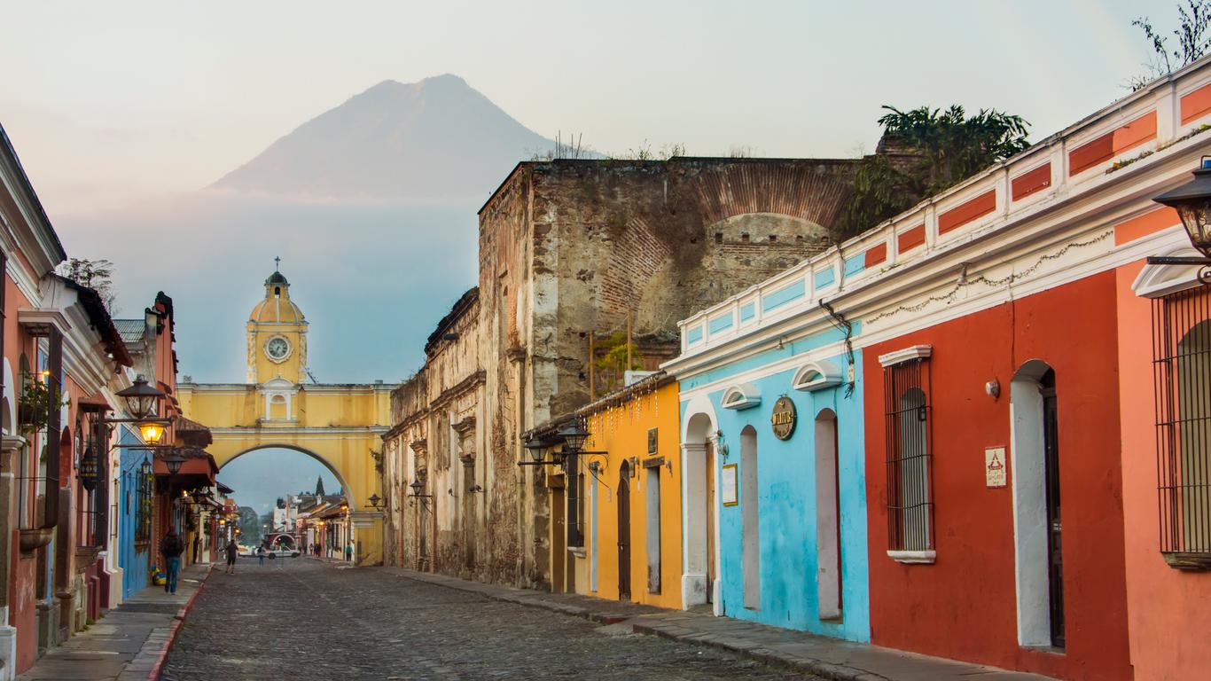
Guatemala, a land of breathtaking natural beauty, is characterized by a diverse and captivating geography. Situated in Central America, it shares borders with Mexico to the north and west, Belize to the northeast, Honduras to the east, and El Salvador to the southeast. The country's topography is a mesmerizing blend of highlands, lowlands, and coastal plains, offering a stunning array of landscapes that range from volcanic peaks to dense rainforests.
The central region of Guatemala is adorned with a striking mountain range, known as the Sierra Madre, which extends from Mexico to El Salvador. This mountainous spine not only shapes the country's topography but also influences its climate patterns. The highlands, characterized by their rugged terrain and fertile valleys, are home to Guatemala's indigenous communities and offer a glimpse into the rich cultural tapestry of the country.
To the north of the highlands lies the Petén region, a vast expanse of tropical lowlands and dense rainforests that harbor ancient Mayan ruins and a diverse array of flora and fauna. The Petén is a treasure trove of archaeological wonders, where ancient civilizations once thrived amidst the lush greenery and abundant wildlife.
Moving towards the Pacific coast, Guatemala's landscape transitions into a series of coastal plains and volcanic mountain ranges. The volcanic belt, known as the Sierra Madre del Sur, adds a dramatic touch to the country's scenery, with towering peaks and fertile slopes that contribute to the agricultural richness of the region.
The Caribbean coast, on the other hand, offers a contrasting landscape, characterized by its low-lying plains and mangrove swamps. This region is influenced by the Caribbean Sea and experiences a distinct climate pattern compared to the rest of the country.
The geographical diversity of Guatemala, from its mountainous highlands to its tropical lowlands and coastal plains, sets the stage for a captivating exploration of its climate and weather patterns. This intricate tapestry of landscapes not only shapes the country's physical features but also plays a pivotal role in defining its climate zones and meteorological phenomena.
Climate Zones
Guatemala's diverse geography gives rise to a fascinating array of climate zones, each with its own distinct characteristics and weather patterns. The country can be broadly categorized into three primary climate zones, each contributing to the rich tapestry of Guatemala's meteorological diversity.
-
Highlands: The mountainous highlands of Guatemala, with their elevated terrain and fertile valleys, exhibit a temperate climate characterized by cooler temperatures and distinct wet and dry seasons. The highlands experience relatively mild temperatures throughout the year, with cooler conditions prevailing at higher elevations. The rainy season, known as the invierno, typically occurs from May to October, bringing abundant rainfall that nourishes the lush landscapes and sustains agricultural activities. In contrast, the dry season, or verano, spans from November to April, offering clear skies and sun-drenched days that showcase the natural beauty of the region.
-
Lowlands and Coastal Plains: The lowlands and coastal plains of Guatemala, encompassing the Petén region and the Pacific and Caribbean coasts, exhibit a tropical climate influenced by proximity to the equator and the surrounding bodies of water. These regions experience higher temperatures and distinct wet and dry seasons, with the tropical rainforests of the Petén receiving ample rainfall throughout the year. The Caribbean coast, in particular, experiences a unique climate influenced by the Caribbean Sea, with higher humidity and a slightly different precipitation pattern compared to other parts of the country.
-
Volcanic Belt: The volcanic belt of Guatemala, stretching along the Pacific coast, contributes to the country's climate diversity with its own set of weather patterns. The volcanic slopes and fertile valleys benefit from the rich volcanic soil and exhibit a climate that is conducive to agricultural activities. The presence of volcanic peaks and the proximity to the Pacific Ocean influence the local climate, creating a microcosm of weather phenomena within this region.
The intricate interplay of these climate zones shapes Guatemala's landscapes, ecosystems, and agricultural practices, offering a captivating glimpse into the country's meteorological diversity. From the misty highlands to the sun-kissed coastlines, each climate zone contributes to the vibrant tapestry of Guatemala's weather patterns, inviting exploration and appreciation of its natural wonders.
Average Temperatures
The average temperatures in Guatemala exhibit a remarkable diversity across its various climate zones, reflecting the country's rich geographical tapestry and climatic nuances. The highlands, characterized by their elevated terrain and temperate climate, experience relatively mild temperatures throughout the year. In the mountainous regions, the average temperatures range from 16°C to 20°C (60°F to 68°F) during the day, with cooler nights that can dip to around 10°C to 12°C (50°F to 54°F). These moderate temperatures create an ideal environment for agriculture and contribute to the lush greenery that blankets the highlands.
In contrast, the lowlands and coastal plains, including the Petén region and the Pacific and Caribbean coasts, exhibit higher average temperatures due to their tropical climate. Daytime temperatures in these regions typically range from 25°C to 30°C (77°F to 86°F), with occasional spikes during the hotter months. The tropical rainforests of the Petén region experience consistently warm temperatures throughout the year, with average highs hovering around 30°C (86°F) and providing a conducive environment for diverse flora and fauna to thrive.
The volcanic belt along the Pacific coast showcases its own unique average temperatures, influenced by the presence of volcanic peaks and the proximity to the Pacific Ocean. The fertile valleys and volcanic slopes benefit from the moderate temperatures, with daytime averages ranging from 22°C to 28°C (72°F to 82°F), creating an optimal climate for agricultural activities such as coffee cultivation and horticulture.
Throughout Guatemala, the average temperatures fluctuate with the distinct wet and dry seasons that define the country's climate patterns. The rainy season brings cooler temperatures and refreshing breezes, offering relief from the tropical heat, while the dry season ushers in sun-drenched days and warmer weather, creating a delightful contrast in the overall temperature dynamics.
The captivating range of average temperatures in Guatemala reflects the intricate interplay of its climate zones and geographical features, shaping the country's landscapes and fostering a diverse array of ecosystems. From the cool highlands to the tropical lowlands, Guatemala's average temperatures paint a vivid portrait of its climatic diversity, inviting exploration and appreciation of its natural wonders.
Weather Patterns
The weather patterns in Guatemala are as diverse and captivating as its geographical tapestry, offering a mesmerizing display of meteorological phenomena that shape the country's landscapes and ecosystems. From the misty highlands to the sun-kissed coastlines, Guatemala's weather patterns weave a captivating narrative of seasonal variations, precipitation dynamics, and atmospheric influences.
Seasonal Variations
Guatemala experiences distinct wet and dry seasons, each contributing to the country's unique weather patterns. The rainy season, known as the invierno, spans from May to October, bringing abundant rainfall that nourishes the fertile landscapes and sustains agricultural activities. During this period, the highlands are adorned with lush greenery, and the tropical rainforests of the Petén region glisten with life-giving moisture. The rainy season also offers a refreshing respite from the tropical heat, creating a cool and invigorating ambiance across the country.
In contrast, the dry season, or verano, extends from November to April, ushering in sun-drenched days and warmer weather. The clear skies and balmy temperatures characterize this season, providing ideal conditions for outdoor exploration and leisure activities. The dry season also showcases the natural beauty of Guatemala's landscapes, with vibrant flora adorning the highlands and coastal plains.
Precipitation Dynamics
The precipitation dynamics in Guatemala vary across its climate zones, contributing to a rich tapestry of weather patterns. The highlands receive a significant portion of their annual rainfall during the rainy season, with the mountainous terrain enhancing the orographic effect and creating localized variations in precipitation. The lowlands and coastal plains, particularly the Petén region, experience consistent rainfall throughout the year, sustaining the lush tropical rainforests and diverse ecosystems.
The Caribbean coast exhibits its own unique precipitation pattern influenced by the Caribbean Sea, with higher humidity and occasional tropical storms adding a dramatic flair to the weather dynamics. The volcanic belt along the Pacific coast benefits from the convergence of oceanic and atmospheric influences, resulting in a balanced precipitation pattern that supports agricultural activities and sustains the region's fertile landscapes.
Atmospheric Influences
The atmospheric influences that shape Guatemala's weather patterns are a testament to the country's climatic diversity. The highlands experience cooler temperatures and refreshing breezes during the rainy season, creating an enchanting ambiance that complements the verdant landscapes. The lowlands and coastal plains, on the other hand, are characterized by the tropical influence of the equatorial region, with warm temperatures and occasional thunderstorms adding a dynamic touch to the weather patterns.
The volcanic belt along the Pacific coast showcases its own atmospheric dynamics, with the proximity to the Pacific Ocean contributing to the moderation of temperatures and the formation of localized weather phenomena. The interplay of atmospheric influences across Guatemala's diverse regions creates a captivating mosaic of weather patterns, inviting exploration and appreciation of the country's meteorological wonders.
The weather patterns in Guatemala, with their seasonal variations, precipitation dynamics, and atmospheric influences, offer a captivating glimpse into the country's climatic tapestry. From the rhythmic dance of the rainy season to the sun-kissed embrace of the dry season, Guatemala's weather patterns paint a vivid portrait of its meteorological diversity, inviting travelers and enthusiasts to immerse themselves in the captivating world of its natural wonders.
Impact of Climate on Agriculture
The climate of Guatemala exerts a profound influence on the country's agricultural practices, shaping the cultivation of diverse crops and the sustainability of farming communities. The intricate interplay of climate zones, weather patterns, and geographical features creates a dynamic environment for agricultural activities, with each region contributing to the rich tapestry of Guatemala's farming landscape.
In the highlands, the temperate climate and distinct wet and dry seasons provide an ideal setting for the cultivation of crops such as coffee, maize, and vegetables. The cooler temperatures and ample rainfall during the rainy season nourish the fertile valleys, supporting the growth of high-quality coffee beans that thrive in the mountainous terrain. Additionally, the dry season offers favorable conditions for harvesting and processing coffee, contributing to Guatemala's renowned coffee industry.
The lowlands and coastal plains, including the Petén region and the Pacific and Caribbean coasts, showcase a different agricultural dynamic influenced by their tropical climate. The consistent rainfall throughout the year sustains the lush tropical rainforests and supports the cultivation of crops such as bananas, cacao, and tropical fruits. The fertile soils and warm temperatures create an optimal environment for diverse agricultural practices, contributing to the abundance of tropical produce that thrives in these regions.
The volcanic belt along the Pacific coast benefits from the rich volcanic soil and moderate temperatures, fostering a thriving agricultural sector that encompasses coffee plantations, sugarcane fields, and horticultural activities. The volcanic slopes and fertile valleys provide an ideal setting for the cultivation of export-quality coffee, while the coastal plains support the growth of sugarcane and a variety of fruits and vegetables.
The impact of climate on agriculture extends beyond crop cultivation to include livestock rearing and agroforestry practices. The diverse climate zones and weather patterns influence the availability of grazing lands, the management of agroforestry systems, and the sustainability of livestock farming. From the highlands to the coastal plains, Guatemala's agricultural landscape reflects the intricate relationship between climate and farming practices, showcasing the resilience and adaptability of farming communities in the face of climatic variations.
The profound impact of Guatemala's climate on agriculture underscores the resilience and ingenuity of farming communities, who have adapted their practices to harness the diverse climatic conditions and create a sustainable agricultural sector. From the misty highlands to the tropical lowlands, the agricultural tapestry of Guatemala reflects the harmonious coexistence of climate, land, and livelihoods, offering a captivating glimpse into the dynamic relationship between nature and agriculture.
Conclusion
In conclusion, the climate of Guatemala is a captivating mosaic of geographical diversity, climate zones, average temperatures, weather patterns, and agricultural influences. From the rugged highlands to the tropical lowlands, Guatemala's climate weaves a rich tapestry of natural wonders that shape the country's landscapes, ecosystems, and way of life.
The geographical features of Guatemala, including the mountainous highlands, tropical lowlands, and coastal plains, create a dynamic environment for diverse climate zones to thrive. The temperate climate of the highlands, characterized by cooler temperatures and distinct wet and dry seasons, contrasts with the tropical climate of the lowlands and coastal plains, where higher temperatures and consistent rainfall sustain lush rainforests and diverse ecosystems. The volcanic belt along the Pacific coast adds a unique dimension to Guatemala's climate, with its fertile valleys and moderate temperatures contributing to a thriving agricultural sector.
The average temperatures in Guatemala reflect the climatic nuances of each region, from the mild temperatures of the highlands to the warmer conditions of the lowlands and coastal plains. The fluctuation between the rainy and dry seasons creates a delightful contrast in the overall temperature dynamics, shaping the country's meteorological character.
The weather patterns in Guatemala, with their seasonal variations, precipitation dynamics, and atmospheric influences, offer a captivating glimpse into the country's climatic tapestry. From the rhythmic dance of the rainy season to the sun-kissed embrace of the dry season, Guatemala's weather patterns paint a vivid portrait of its meteorological diversity, inviting travelers and enthusiasts to immerse themselves in the captivating world of its natural wonders.
The profound impact of Guatemala's climate on agriculture underscores the resilience and ingenuity of farming communities, who have adapted their practices to harness the diverse climatic conditions and create a sustainable agricultural sector. From the misty highlands to the tropical lowlands, the agricultural tapestry of Guatemala reflects the harmonious coexistence of climate, land, and livelihoods, offering a captivating glimpse into the dynamic relationship between nature and agriculture.
In essence, the climate of Guatemala is a captivating symphony of natural elements that harmonize to create a diverse and enchanting environment. It is a testament to the intricate interplay of geographical, meteorological, and agricultural forces that shape the country's identity and offer a captivating journey of exploration and discovery for all who seek to unravel its mysteries.